NYMTA Transit Tech Lab Reports Signaling Challenge Proof-of-Concept Results
Written by William C. Vantuono, Editor-in-Chief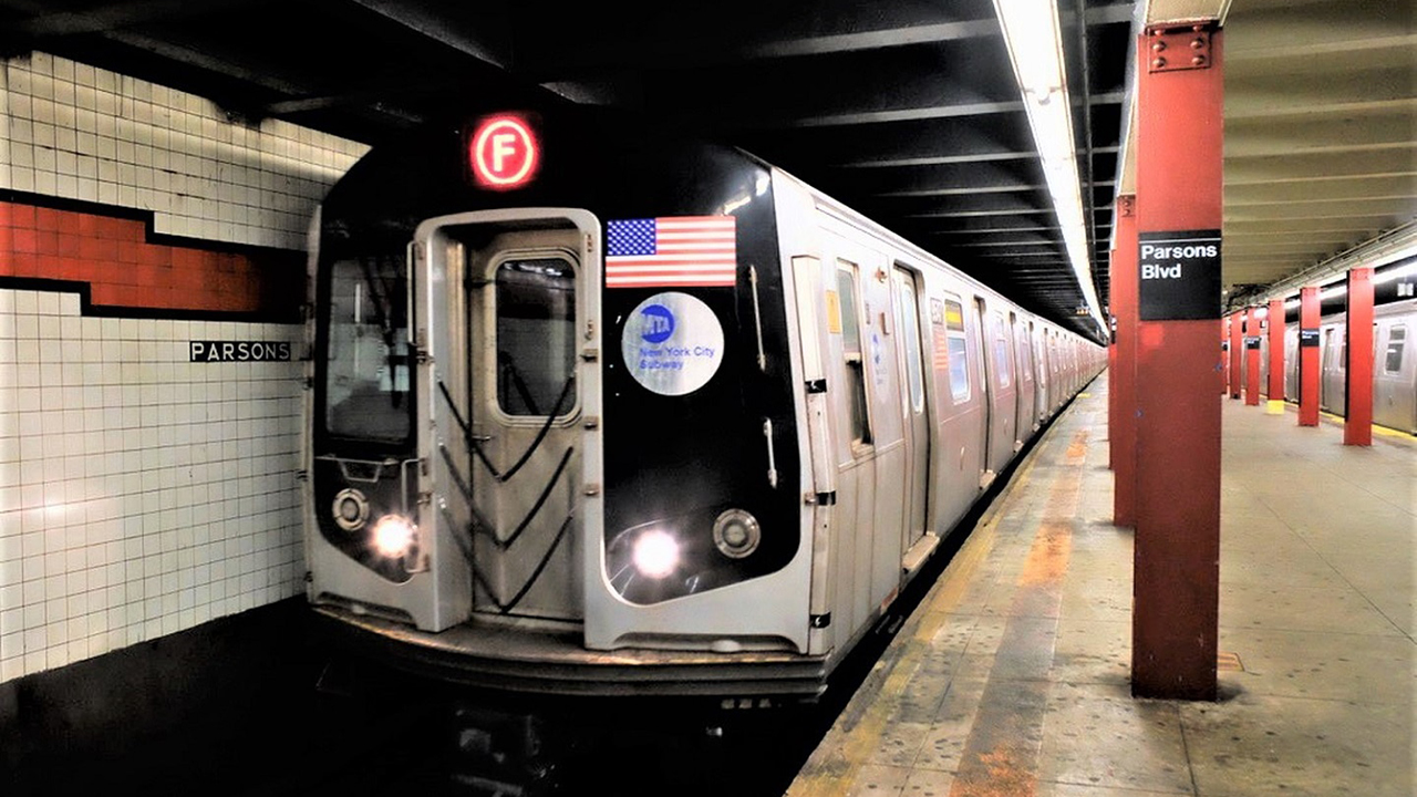
The New York Metropolitan Transportation Authority/Partnership4NYC Transit Tech Lab has released the results of its Signaling Challenge proof-of-concept initiative during which four companies “completed and demonstrated how their technology can improve [New York City Transit] subway reliability and increase capacity.” The technologies included AI (artificial intelligence), LiDAR (light detection and ranging) hardware and an onboard-centric communications-based train control (CBTC) system.
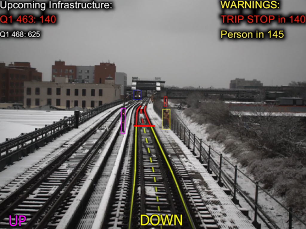
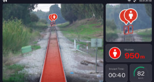
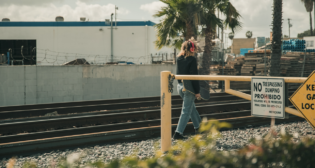
4AI Systems, in partnership with MAC Products, demonstrated how its AI software can improve reliability and safety through early track intrusion detection. Five cameras and sensors were installed on an R143 subway car and captured 5,000 miles of footage and 50 TB (terabytes) of data along the Canarsie Line (L), NYCT’s first CBTC-equipped line. People, objects, and signal colors were detected up to 1,600 feet away. “This solution can also help lower maintenance costs by replacing old wayside infrastructure,” Transit Tech Lab noted.
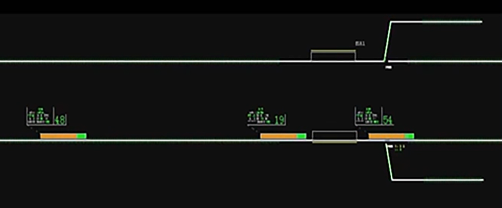
Alstom virtually demonstrated how its Urbalis 400 CBTC system (which is deployed on much of Line 1 the Toronto Transit Commission subway), “could reduce headways, increase capacity, and accelerate installation time. The simplified train-to-train architecture eliminates the need for wayside equipment and provides quicker communication between trains. Alstom’s technology was simulated along the northern-most sections of the 2, 3, and 5 lines in the Bronx.
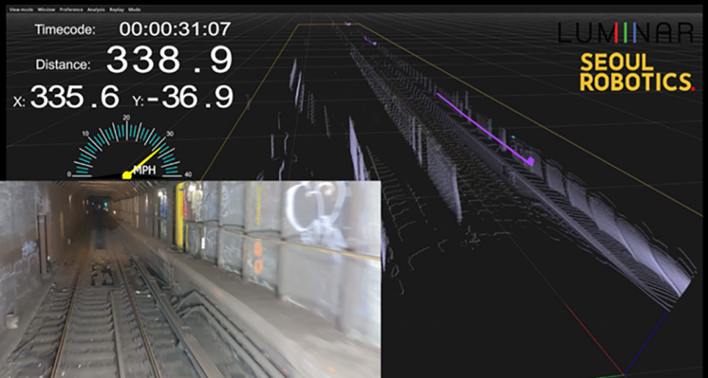
Luminar, in partnership with Seoul Robotics, deployed its 3D LiDAR with Seoul Robotics’ perception software to locate trains to within 1 meter in GPS-denied areas. “With accurate train positioning, the MTA could run trains closer together and reduce headways,” Transit Tech Lab said. “The solution also has the potential to detect track hazards and infrastructure damage.”
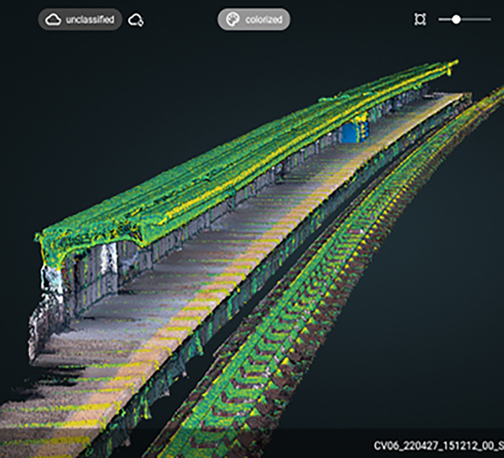
Ouster and Lux Modus deployed their digital LiDAR sensor and mapping software to capture 25,000 images and create a 3D digital twin of track infrastructure between Coney Island Yard and 4th Avenue/9th Street Station, which serves the D, N, R, W, F and G Lines. “If used over time on a Track Geometry Car, the technology can automate track maintenance, saving time and money,” Transit Tech Lab said. “The solution also has the potential to support accurate train positioning and detect track hazards.”